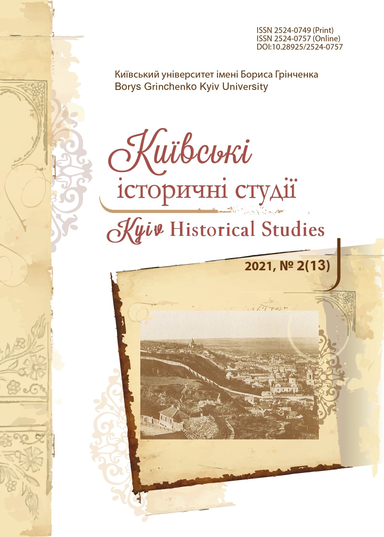
Mental Map of Hryhoriy Galagan: Territorial and Ethnonational Structuring in Ukrainian Nobleman’s World View (mid-1830s — mid-1860s)
DOI:
https://doi.org/10.28925/2524-0757.2021.213Keywords:
Hryhoriy Galahan, humanitarian geography, spatial mental structures, images of ethno-national communitiesAbstract
The article examines the spatial structures and related images of ethno-national communities in the world view of Hryhoriy Pavlovych Galagan (1819–1888), a representative of the Ukrainian local nobility and a prominent public figure. The research methodology includes the achievements of modern humanitarian geography, first of all the method of mental mapping, which allows to study the spatial structures in the world view of the individual, taking into account his socio-cultural environment. The research is based on ego-documents — diaries and correspondence from the Galagan family archive. Special attention is paid to toponymes and ethnonymes in these texts. It is shown that the spatial representations of Hryhoriy Galagan were a complex system that developed under the influence of the socio-cultural sphere in which he lived. Thus, humanitarian geography is represented as a discursive practice due to social and political interests. The article deals, in particular, with such spatial constructs as “Little Russia”, “Ukraine”, “Russia”, “Rus”, “Europe”, as well as related communities — “Little Russia people”, “Russian people”, “Europeans”. Galagan’s spatial and ethno-national ideas are shown as a very dynamic system that was constantly changing under the influence of socio-political and ideological movements, such as the Polish uprisings of 1830–1831 and 1863–1864, the rise of Slavophilia and Ukrainophilia. Attention is paid to the importance of travel for the development of the system of spatial and ethno-national structures. In addition, the conditionality of this system with ideas about history is proved. The issues raised in this article will contribute to further in-depth research in cultural anthropology, as well as be useful to historians working in the biographical genre.
Downloads
References
Arseniev, K. (1848). Statisticheskie ocherki Rossii. Saint Petersburg [in Russian].
Budzar, M. М. (2015). Prostorovi moduli «mentalnoho kartohrafuvannia» panskoho maietku v Ukraini ХІХ stolittia yak vyiav samoidentyfikatsii vlasnyka [Spatial Models of “mental mapping” of the Manor in Ukraine in the 19th century as Manifestation of Self-Identification of the Owner]. Scientific Journal «ScienceRise», 2/1(7), 40–45 [in Ukrainian].
Budzar, M., Kovalov, Ye. (comps.), Kolesnyk I. (ed.). (2019). «My vyikhaly z Sokyryntsiv…»: trevelohy rodyny Galaganiv”. Kyiv: StreamARLine [in Ukrainian].
Domontovich, M. (Ed.). (1865). Materialy dlia geografii i statistiki Rossii, sobrannyie ofitserami Generalnogo shtaba. Chernigovskaia guberniia. Saint Petersburg [in Russian].
Galagan, Hryhorii (2020). Zhurnal (1836–1841). M. Budzar, Ye. Kovalov (comps.), I. Kolesnyk (ed.). Kyiv: StreamARLine [in Ukrainian].
Gogol, N. V. (1952). Polnoie sobranie sochinenii. Pisma 1820–1835. (Vol. 11), Moscow: AN SSSR [in Russian].
Hillis, F. (2013). Children of Rus’. Right-Bank Ukraine and the Invention of a Russian Nation. Ithaca and London: Сornell University Press [in English].
Istoriia rusov ili Maloi Rossii. (1846). Moscow [in Russian].
Kolesnyk, I. (2013). Mentalni mapy yak instrumentarii istoryka [Mental Maps as a Historian’s Tool]. Eidos, 7, 159–168 [in Ukrainian].
Kostomarov, N. (1861). Dve russkie narodnosti. Osnova, 3, 33–80 [in Russian].
Rubinshteiin, S. F. (Ed.). (1894). Khronologicheskii ukazatel ukazov i pravitelstvennykh rasporiazhenii po guberniiam Zapadnoi Rossii, Belorussii i Malorossii za 240 let, s 1652 po 1892 god. Vilna [in Russian].
Zamiatin, D. (2010). Gumanitarnaia geografiia: prostranstvo, voobrazhenie i vzaimodeistvie sovremennykh gumanitarnykh nauk. Sotsiologicheskoie obozrenie, 3, 26–45 [in Russian].
Published
How to Cite
Issue
Section
License
Copyright (c) 2021 Євген Ковальов

This work is licensed under a Creative Commons Attribution-NonCommercial-ShareAlike 4.0 International License.
Authors who publish in this journal retain the right of authorship of the work and give to the journal right of first publication of this work under the conditions of Creative Commons: Attribution-NonCommercial-ShareAlike 4.0 International (CC BY-NC-SA 4.0), which allows others freely distribute the work published with reference to the authors of the original work and the first publication of this magazine.


